Karen came up
with today’s headline. I like it.
Leaving
Edisto Island means driving down a long two-lane road for about 22 miles to get
to the main highway. Most of the road on the island has a canopy of old oak
trees covered in Spanish Moss, so it’s like driving through a long green
tunnel. You know you’re getting close to the highway when you see the Adam’s
Run Post Office.

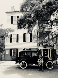
Sunday brunch
was in downtown Charleston at Poogan’s Porch, a little restaurant in an old
house on Queen Street. In the hallway there were numerous autographed photos
from celebrities who had dined there at some time in the past. My favorite one,
and the one that sold me on eating there was signed by the ‘hardest working man
in show business’ – James Brown. Karen told me that Poogan was the name of the
restaurant owner’s dog, and he (the dog) is buried next to the steps at the
front door.

We toured the
old town area in a carriage pulled by a pair of mules. There are so many carriages
driving around the city that the vendors have to check in with a traffic
regulator, who assigns tour routes by a lottery system. There are five ‘zones’,
and to keep too many carriages from congesting any given zone the carriages are
distributed accordingly. The photo below shows the regulator assigning us to
zone 5 – lots of churches, the old city jail, and some big antebellum mansions.


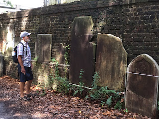
Once we got a
feel for the city, we took off on foot and explored the old homes (some dating
back to the 1740’s) along Church Street and Water Street and other Streets. By
this time, it was getting pretty warm and humid, so we decided to jump in the
car and find Fort Sumter National Monument. After a few turns here and there,
and a few choice words for the GPS app, we got across town to the wharf where
the tour boat docks. We got on the last tour of the day.


Out on the
water there was a cool breeze and it did not seem as humid. In other words, it
was pretty nice. The ride out to the fort takes about 20 to 30 minutes and
along the way you pass the aircraft carrier, U.S.S. Yorktown, large container
ships coming into the Port of Charleston, and a couple of old forts that used
to guard the harbor back in the 18th and 19th centuries.

Fort Sumter
is worth visiting, especially if you’re a Civil War buff. The National Park
Service has done a good job preserving the ruins. You can still see artillery
shells embedded in the walls of the fort dating back to the Union siege of
1863. Since we were the last tour of the day, we got to see the daily flag
lowering ceremony.


By the time
we got back to shore, it was close to 6:30pm, and it was nearly 8:00pm when we
pulled into camp – just enough time for some leftover spaghetti and a
late-night blog entry.

Next: North
Carolina