Monday, August 24, 2020

Peas On Earth – Another Golden Spike? – Onalaska (On Wisconsin?) - August 24, 2020


This morning we took our time getting started. We had a hot breakfast, visited Falls Park in downtown Sioux Falls, and then made a stop at a local quilting shop.


Shortly after getting back onto I-90 East, we entered Minnesota. Most of this section of the highway parallels the border between Minnesota and Iowa, which runs just a few miles south of the interstate. The road is as straight as the borderline on the map. For 300 miles we passed through cornfields and soybean fields. According to Karen’s research, most of the corn grown in the region is used to produce ethanol for fuel.

Just over halfway to Wisconsin, we stopped in a rest area near the town of Blue Earth, MN. While stretching our legs, we discovered that this is the place where east met west in 1978, when the final segment of I-90 was completed. The event was commemorated by having two large construction vehicles mimic the famous transcontinental railroad locomotives, while several dignitaries gave speeches. The Department of Transportation even tinted a section of the roadway a golden hue for the occasion. It is known as the ‘Golden Stripe’.

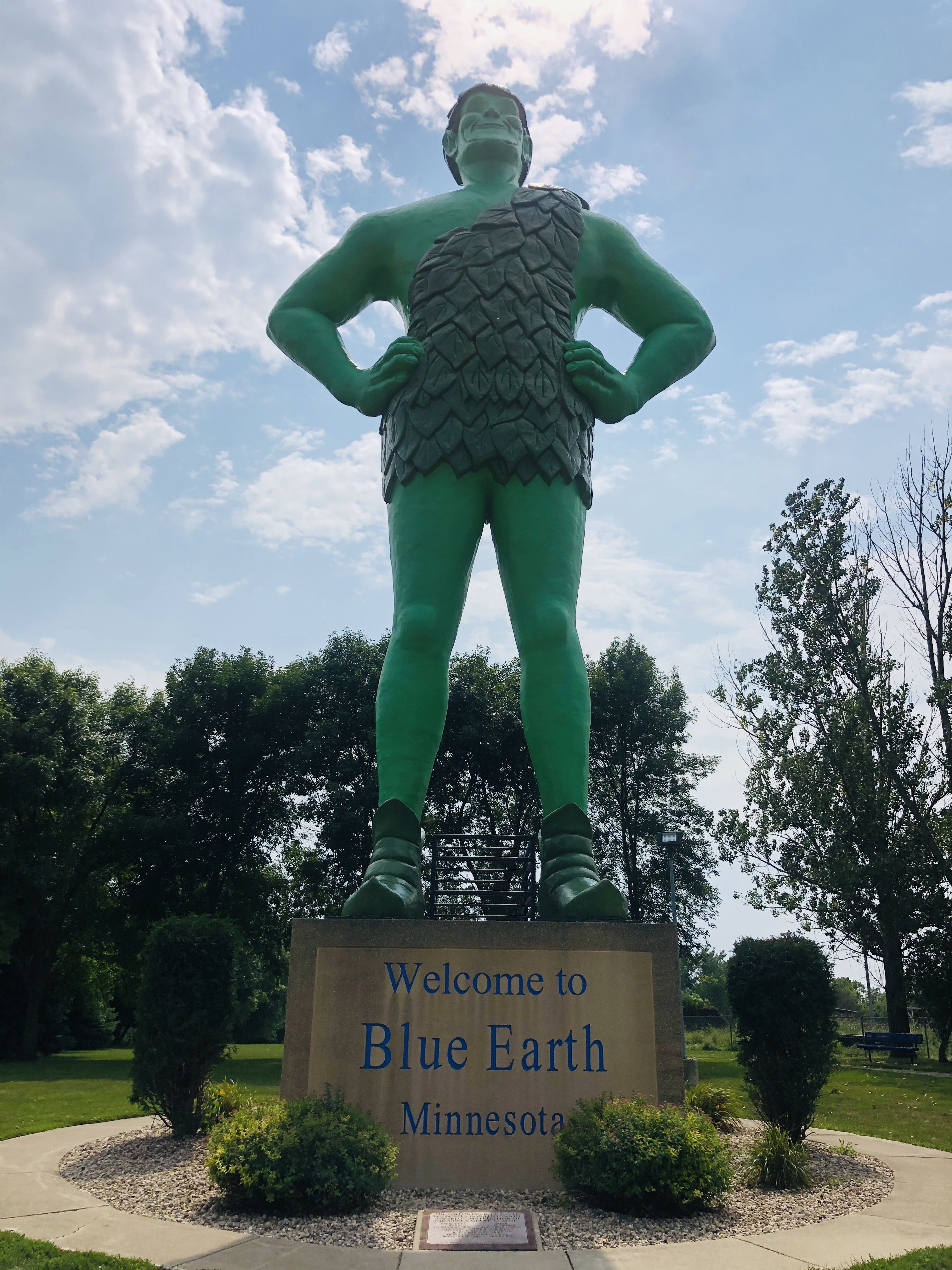
Not to be outdone by these festivities, local businesses and a radio disc jockey put together enough money to commission the construction of a 55’ high fiberglass rendering of the ‘Jolly Green Giant’ just in time to take part in the Golden Stripe ceremony. At the time, the Green Giant food company had a canning plant in Blue Earth. The original plan was for the giant to stand next to the interstate. Real estate deals for this could not be worked out, so the giant hung from a large crane on the day of the ceremony and was then relocated a mile south of the freeway to its permanent home in the town of Blue Earth.


At about 30 miles west of the Mississippi River, the rolling terrain becomes more wooded and hilly as the freeway descends eastward toward the river. We needed some more roadmaps, so we stopped at the AAA office in Onalaska, WI. This is a sleepy little suburb north of La Crosse that got its start as a lumber town. Our friendly AAA agent gave us some maps and told us how her town got its name:  the popular story is that the town’s founder got the name from a poem entitled, ‘The Pleasures of Hope’, written in 1799 by a Scottish poet named Thomas Campbell. One stanza in it supposedly refers to native people in the Aleutian Islands.

Our hotel for tonight is situated on the banks of the Mississippi River on the old waterfront of La Crosse, WI. The neighborhood of former industrial buildings is being revitalized with restaurants, hotels and a performing arts center. It’s kind of like a small version of San Diego’s Gas Lamp District. However, it’s Monday night and there are very few people around. We have a nearly private outside entrance to our first-floor room, so it was easy for me to get right out to the parking lot, walk a few blocks to a pizza joint, and bring it back to our room for a relaxing evening meal.


While we’re on the topic of city names, La Crosse apparently got its name from French traders, who came up the river and saw Native Americans playing a game similar to their own French game of la crosse, whose name derived from the similarity of the racquets to a bishop’s crozier.


Next: South down the river…

Sunday, August 23, 2020

Hazed and Cornfused – Badlands – Good Beer – August 23, 2020

Over the past week, we’ve noticed the skies have not been as blue as we expected them to be. Visibility in the wide open spaces of Utah, Idaho and Wyoming has been limited. Karen found out why we were experiencing the persistent brownish haze. Below is a screen shot of a satellite smoke forecast for the Mountain Time Zone region on August 21. It is staggering to see the impact of the California wildfires on the air quality of the mountain states!


The trip odometer on the car shows we’ve traveled 2000 miles so far – and we’re still in the Mountain Time Zone. Today, we started east in earnest.

First stop was the Badlands National Park. We took the Highway 240 scenic loop through the northern unit of the park. Just at the Pinnacles Entrance to the park, we came upon a prairie dog community, a herd of bison, and some antelope.

The Badlands is set in the middle of miles of prairie grasslands. You can only imagine what early travelers must have thought when they came upon the chasms, peaks and valleys that suddenly appear. The NPS literature says that a shallow sea covered the Great Plains millions of years ago. When the climate changed and tectonic plates crunched together, the rising landmass drained the sea. Wind and rain started eroding the land, creating the rock formations (and exposing fossils from ancient sea creatures) we see today.


Toadstool Rock at Norbeck Pass (below)


Back on the I-90, we drove about 250 miles through cornfields until we reached Sioux Falls, SD. At about the halfway point, we crossed the Missouri River near Chamberlain, SD. This is where we stopped at a rest area featuring a 2016 stainless steel sculpture entitled, Dignity, which celebrates the Lakota and Dakota people, as well as other Native cultures of South Dakota.


Once we got east of the Missouri River, the sky started to turn blue, and the landscape looked greener. We’re in the Central Time Zone now, and we’ve left behind the arid West.


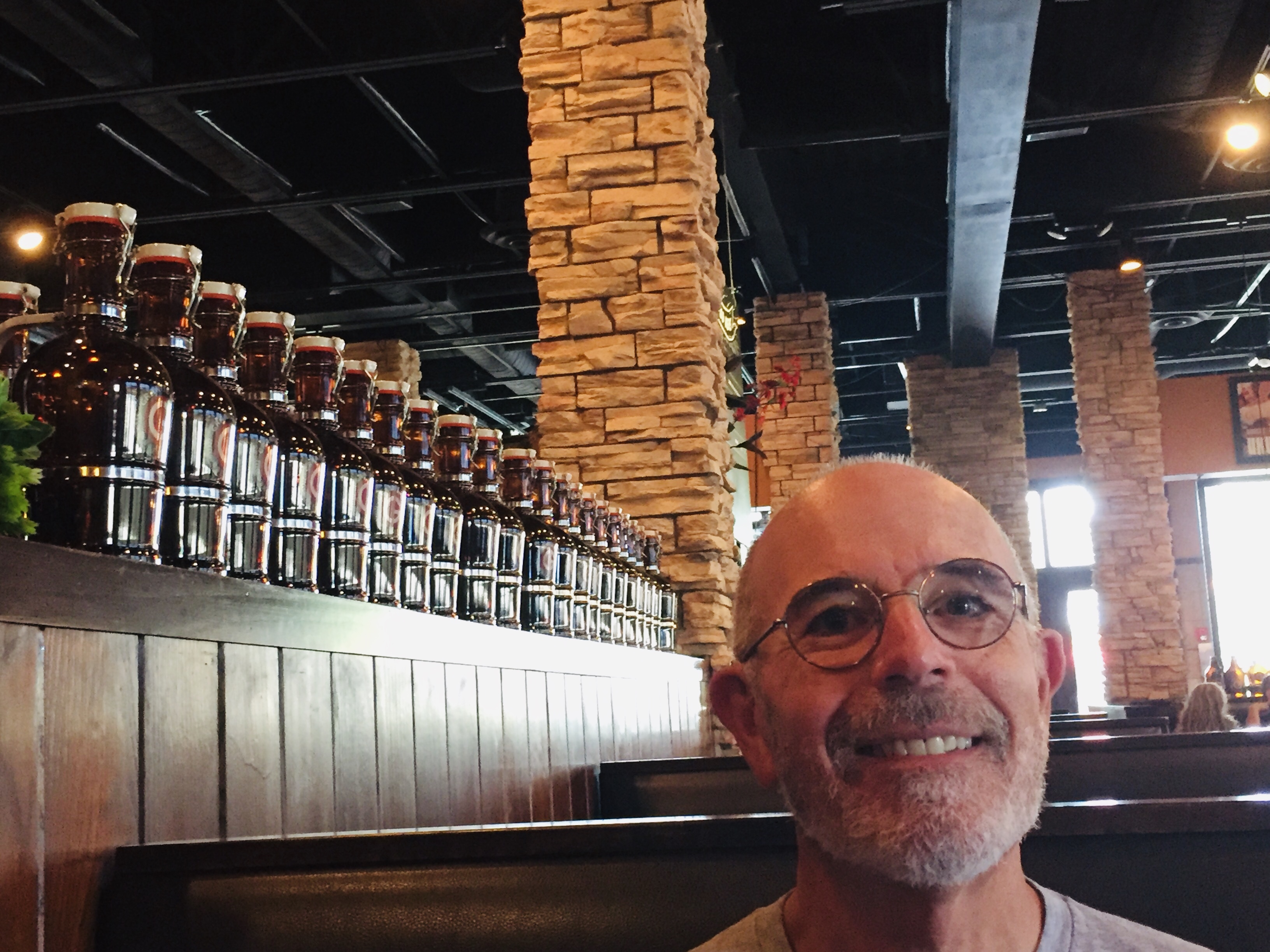
It was a long and thirsty drive, so we stopped at the Granite City Brewery in Sioux Falls for an early dinner and called it a day.


Next: La Crosse, WI


Saturday, August 22, 2020

Somewhere In the Black Hills of South Dakota – Hitting the Wall – August 22, 2020


Our plan today was to stay local. With that in mind, we booked a motel in Rapid City, SD for tonight. We left the sleepy town of Sundance, WY at 9:00am and crossed into South Dakota a few minutes later.


We drove through Spearfish Canyon on the scenic State Highway 14A south into the Black Hills. This is another steep and narrow canyon that follows Spearfish Creek as it descends from the mountains to the south. It was Saturday morning, and the road is full of motorcycles, UTV’s/ATV’s, and campers. This is a beautiful drive that winds through several mountain resorts and ski areas. At this time of year it looks like the main activity is driving/renting off-road UTV’s, many of which were driving on the highway.

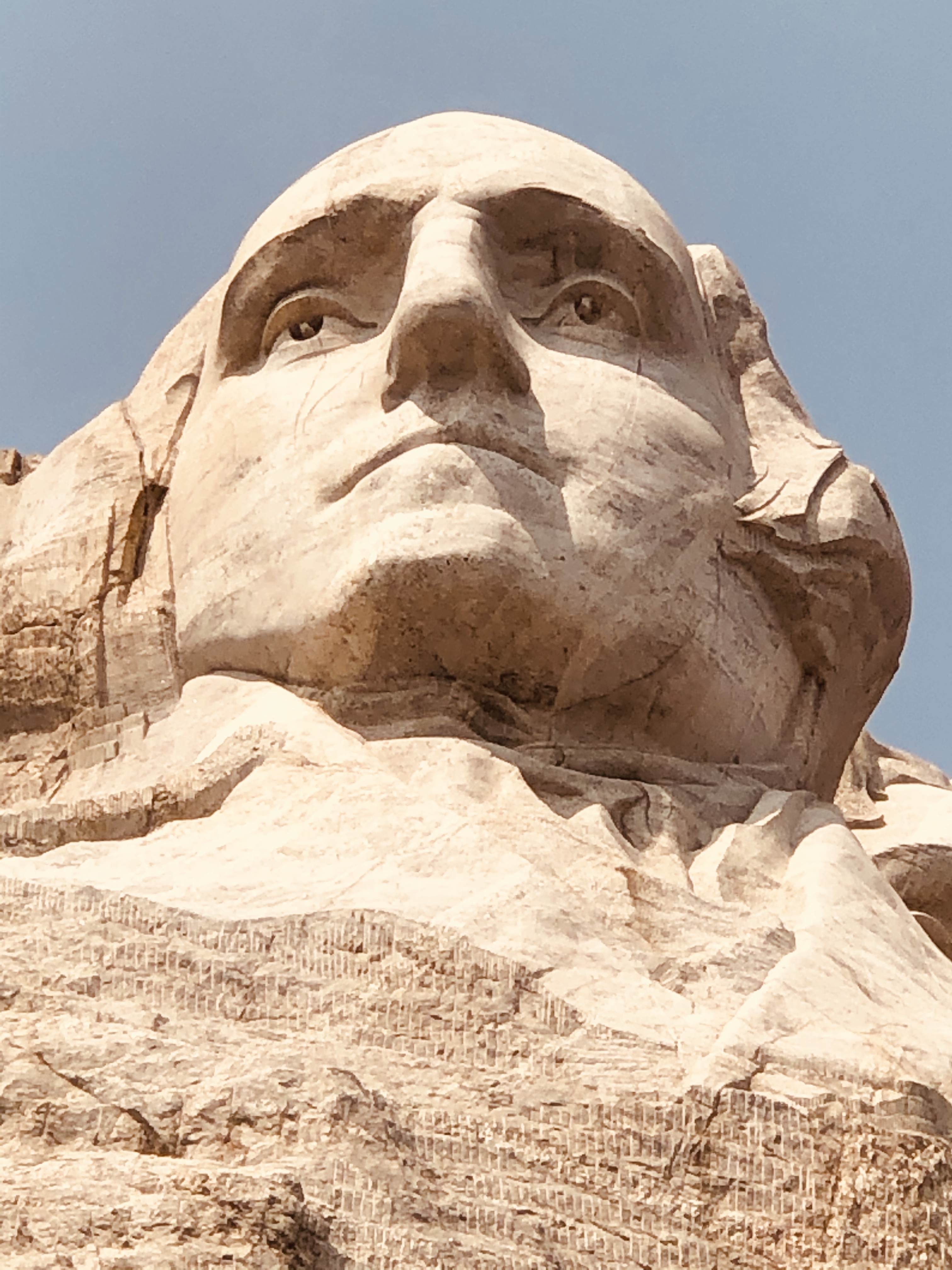
 It wasn’t long before we got to Gutzon Borglum’s (see portrait below) opus on the mountain. Even though it was a weekend, the parking area/visitor area at Mt. Rushmore National Monument made it easy to get in and out.


We took a short walk on the Presidential Trail, which takes you up to the base of the mountain, and snapped a few photos.


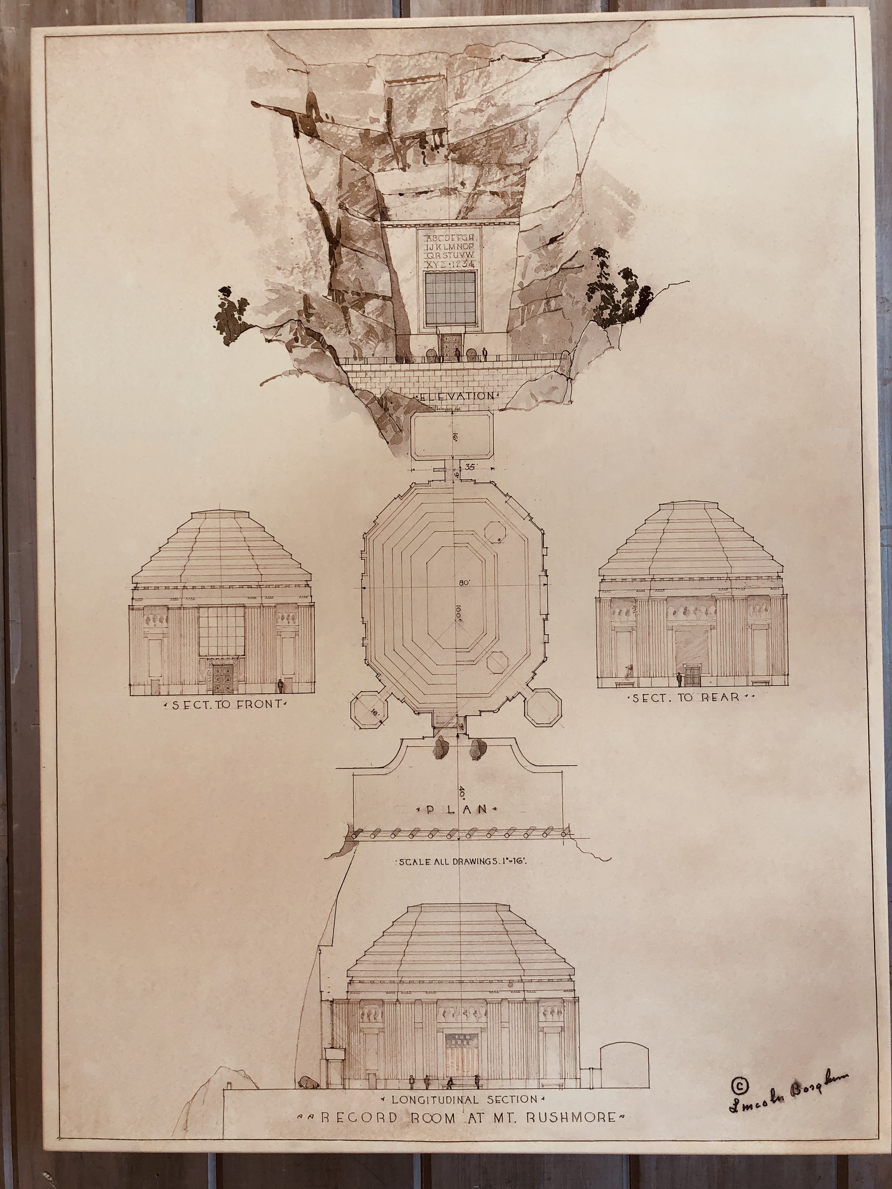
The NPS Ranger talk was informative. We learned about Borglum’s plan for a storage vault (see photo below) built into the granite behind the faces, where he expected to preserve historical documents (Declaration of Independence, Constitution, Emancipation Proclamation, etc). According to the ranger, the U.S. Government was not interested in this project and halted funding for it. The partially completed vault is now a 70’ long tunnel that is closed to the public.


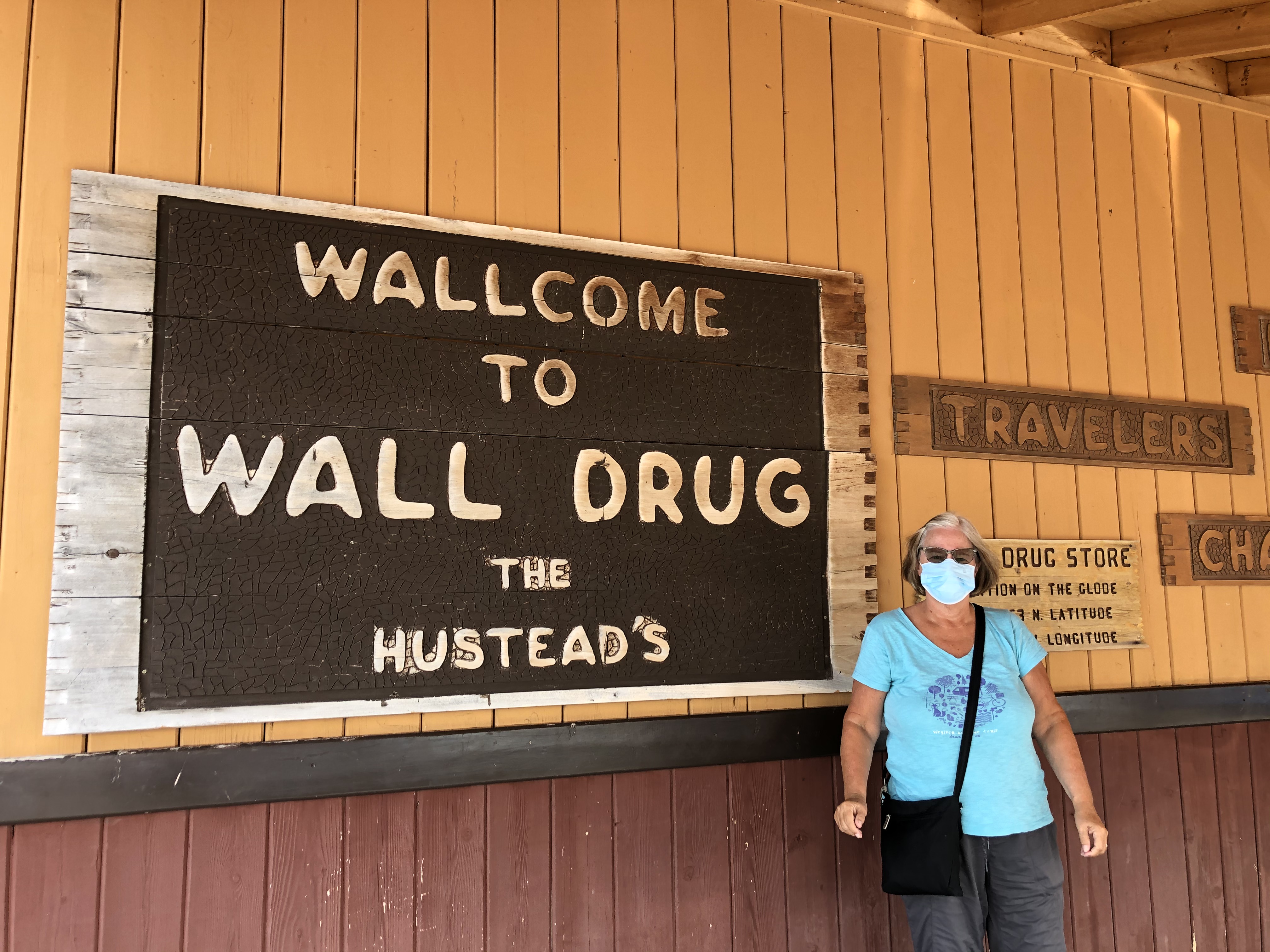
Then, we went back up to I-90 east to visit the most famous drug store in the west. Funny thing: when we got to Wall Drug, the pharmacy was closed! However, all the other shops and restaurants in this sprawling tourist complex were open and doing a fine weekend business. Karen had some homemade blueberry pie and we made the short drive back west to Rapid City for the night.


Next: The Badlands and Sioux Falls

Friday, August 21, 2020

Cowboy Courtesy – Canyons – Close Encounters (of at least two kind) – August 21, 2020


Last night we stayed in a cabin at the Pahaska Tepee, the site of Buffalo Bill’s original hunting lodge (c. 1914). It’s a quiet little place on the highway between the East Entrance to Yellowstone and the town of Wapiti. There is no cell reception and no internet – this must be the way the old pioneers did it!


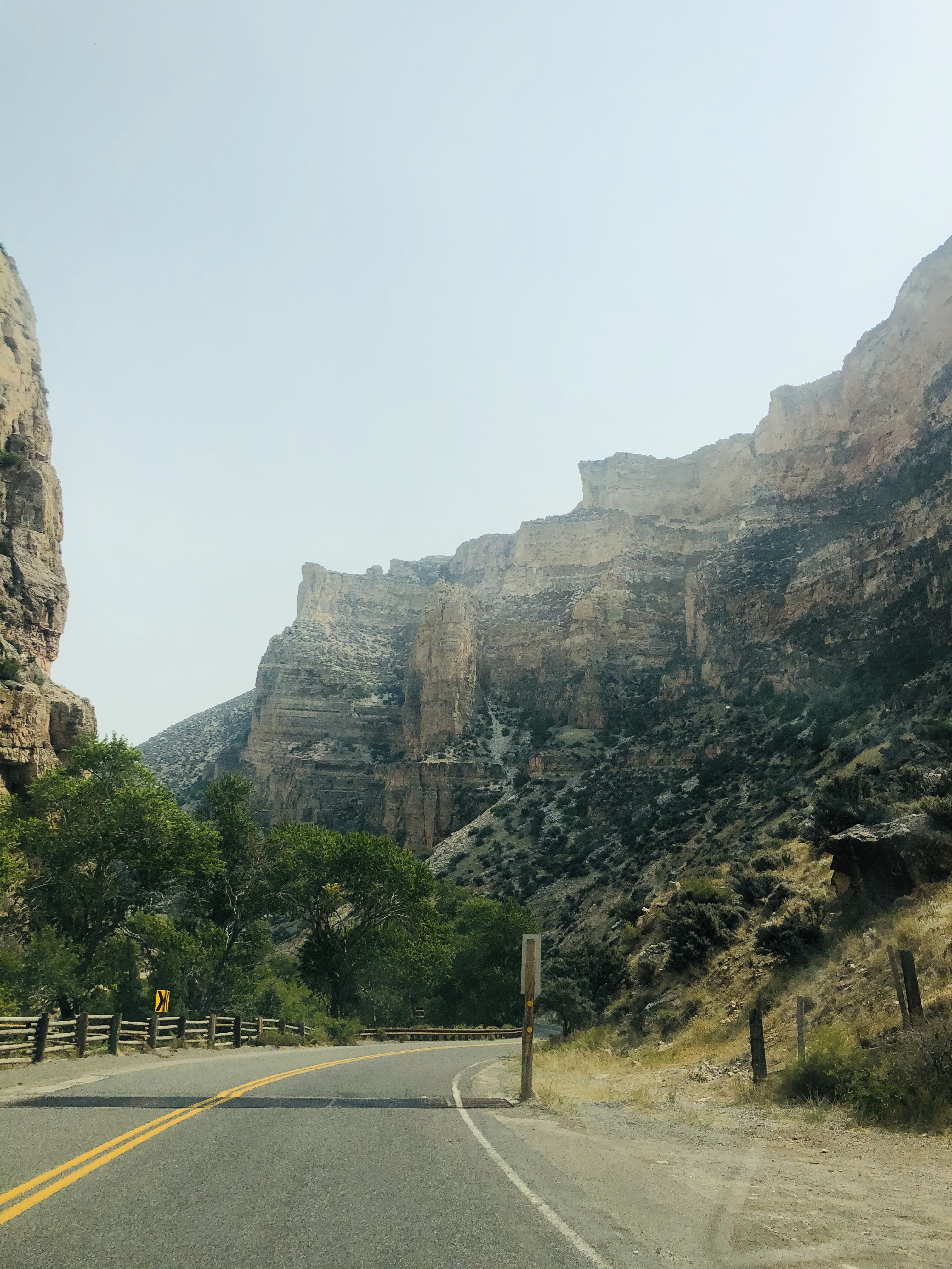
This morning, we drove down Highway 20 east along the North Fork of the Shoshone River. The river flows through a steep canyon with tall butte-like columns lining the cliffs. We passed several ‘dude’ ranches, as well as regular ranches and farms as the road dropped down into Cody.


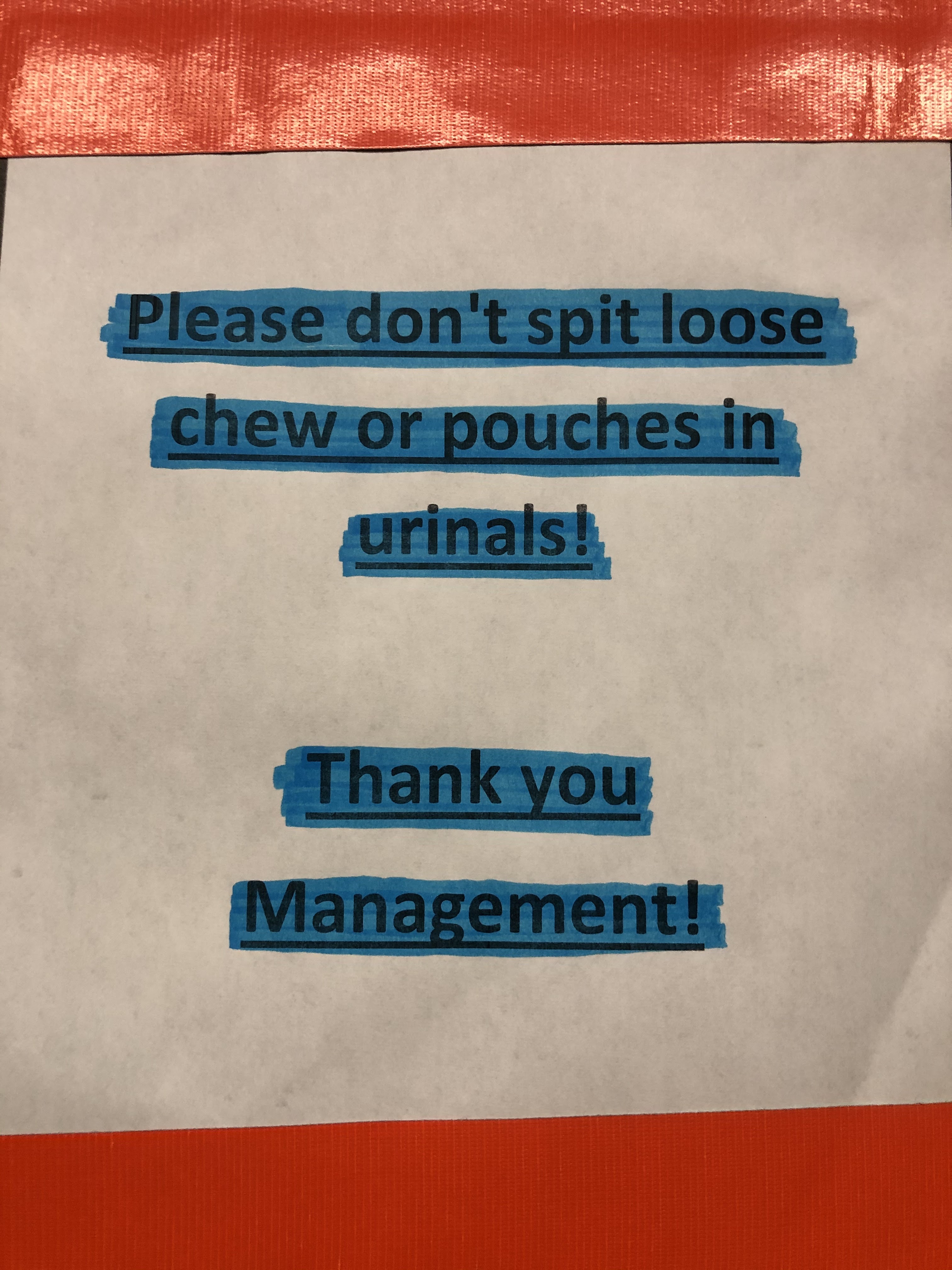
Cody is the self-proclaimed ‘rodeo capital of the world’. Our visit to the local rest stop confirmed that we were truly in the Cowboy State.


When we got to the town of Greybull, we turned onto Scenic State Highway 14. This goes up into the Bighorn National Wilderness through Granite Pass (elevation 9000’) and along parts of the Bighorn River.


Just past Shell Falls, and after Granite Pass, we came upon a group of three moose grazing in a boggy area just off the road.


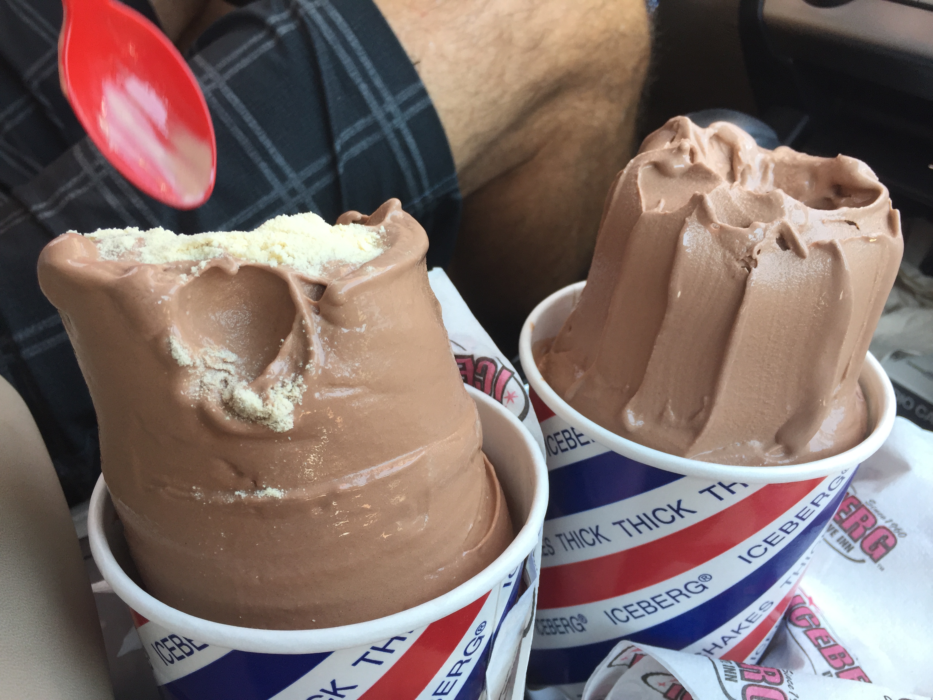
I noticed a few days earlier, at the Iceberg Drive-in in Salt Lake City, Karen had been acting somewhat strangely. It started with the way she prepared her chocolate shake. Then today I found myself sitting in the passenger seat, while Karen drove us up into the mountains north of the Keyhole Reservoir. As we dropped down into the Hulett Valley, it suddenly became quite clear to me what was going on. Off in the distance, a basaltic monolith loomed on the horizon.


We took a walk around the base of Devil’s Tower, and it seemed to soothe Karen (except for the hiking part). I think we’re OK now, but I still wonder about that four-note tune she’s humming, and I’m not sure about that sunburn that only covers one half of her face…


Next: South Dakota